PrototypeHardware
DroneMapper
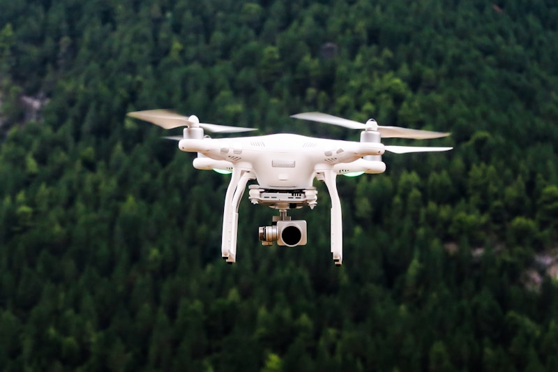
Create 3D maps from drone footage
Published March 15, 202656 likes
About this project
Process drone footage to create detailed 3D maps and models. Useful for agriculture, construction, and environmental monitoring.
Technologies & Topics
dronemapping3Dphotogrammetry
Growth Ledger
Project journey from idea to launch
No milestones recorded yet.